.svg)

Rugged Terrain & Fire-Ready Research
Headwaters Tech Hub (HTH) Testbeds offer distinct environments, including varied terrain, controlled settings, and advanced connectivity, designed to help partners test and demonstrate near-commercial products in real-world conditions. These testbeds specialize in smart photonic sensing systems with applications in natural resource management, national defense, precision agriculture, wildfire resilience, and disaster prevention.
LEF’s controlled environment and flexible regulations make it one of the few testbeds in the country that supports real fire movement and UAS operations at this scale.
FIELD-TESTED VALUE
Lubrecht Experimental Forest is one of the most advanced natural testbeds in the country for UAV, robotics, and sensor validation in dynamic, high elevation terrain. With over 21,000 acres of forested slopes, open meadows, and microclimates, LEF offers unmatched access to real-world wildfire, forestry, and environmental research conditions.
FM-approved for Beyond Visual Line of Sight and high-altitude UAV flights, the site supports large-scale aerial missions, live prescribed burns, and centimeter-grade positioning through survey-grade GNSS with RTK/PPK and CORS access. Robust infrastructure, including a centralized mission control center for autonomous systems, reliable connectivity, and on-site lodging, makes LEF a fully equipped basecamp for developing, refining, and validating next generation sensing technologies.


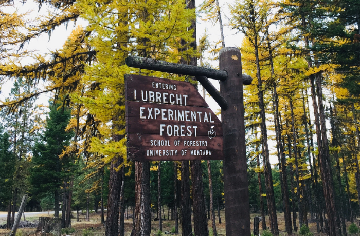


Lubrecht Experimental Forest (LEF) Rugged Terrain & Fire-Ready Research
University of Montana
Biannual Live Prescribed Burns
Safely test fire-resilient technologies and autonomous systems under real fire conditions—without restrictive regulations.
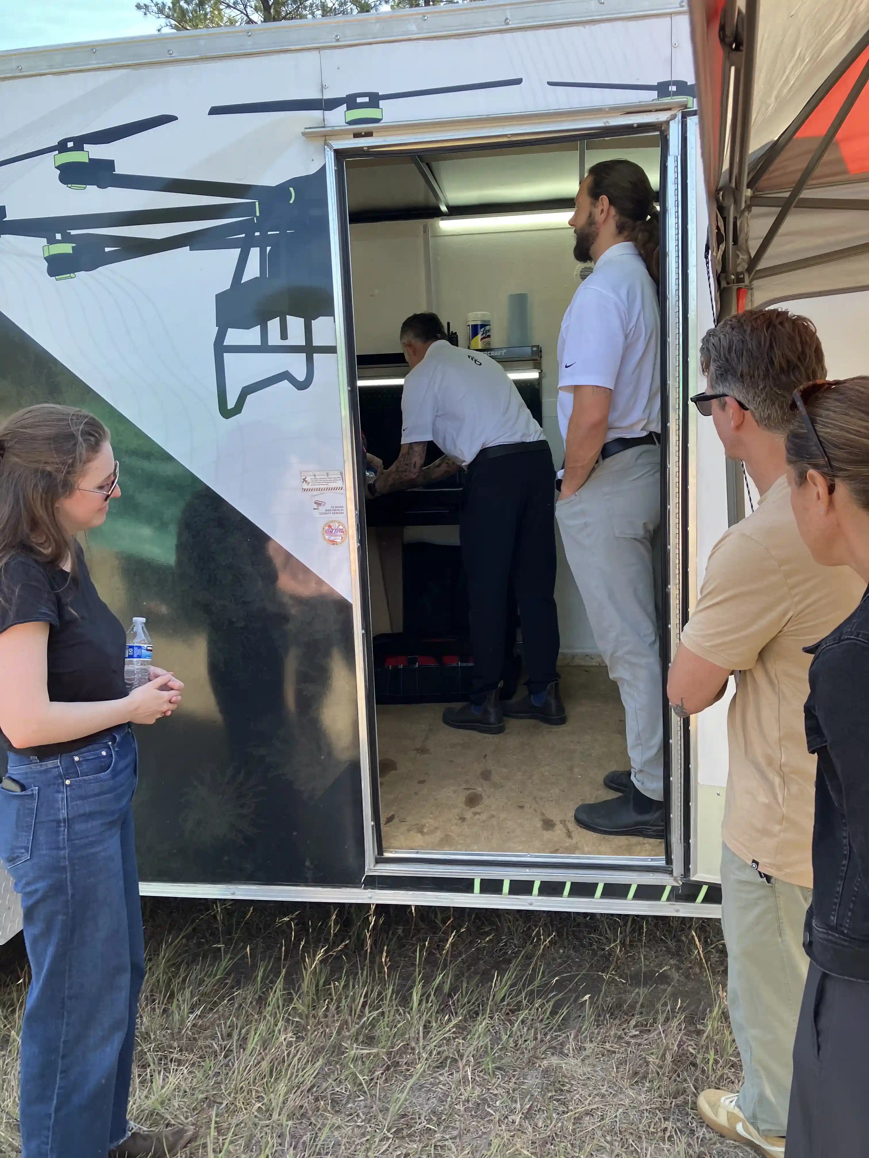
Integrated Mission Control Center for Autonomous Systems Operations
Coordinate, monitor, and manage autonomous systems and sensor deployments directly from mission control.
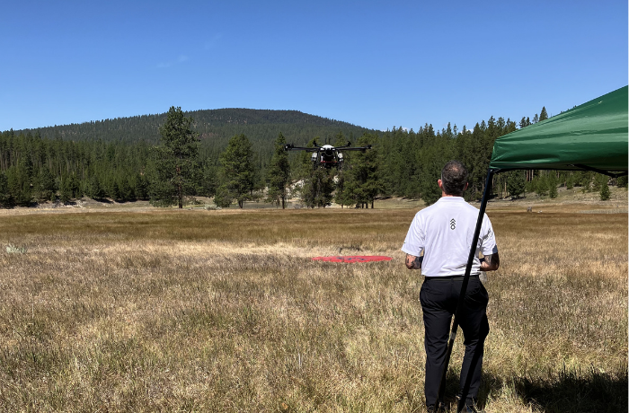
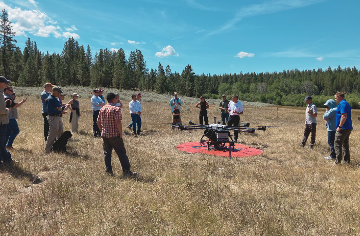
Advanced UAS Fleet & Sensor Payloads
Access to NDAA-compliant BVLOS, VTOL, fixed-wing, and multirotor platforms equipped with LiDAR, multispectral, and high-resolution RGB payloads for mapping and data collection.
FAA Waivers for 2,000 ft AGL & 5-mile BVLOS
Provides high-altitude and extended-range testing with comprehensive airspace visibility—Remote ID, ADS-B, and phased-array radar fused into a common operating picture—ideal for calibration, mapping, and fire operations.
21,432 Acres of Ecologically Diverse Terrain
Test across real-world environments—forests, meadows, ponds, prior thinning and burns of specific ages, elevation changes, and extremes in temperature that simulate challenging use conditions.
Robust Connectivity Infrastructure
Real-time data collection and communications enabled by fiber internet, WiFi mesh, and Starlink.
Centimeter-Grade GNSS Accuracy
Sensing systems using RTK/PPK from a dedicated GNSS CORS. Robust centimeter positional accuracy, crucial for advanced sensors, robotics, and drones.

UAV Sensor Validation
Wildfire Resilience
5-mile BVLOS Operational Radius
Environmental Sensing
Spring/Fall Prescribed Burns
2,000 ft AGL FAA Waiver
103 Beds Onsite
GNSS-Enabled Centimeter Level Accuracy
Forest Robotics
UAV Sensor Validation
Wildfire Resilience
5-mile BVLOS Operational Radius
Environmental Sensing
2,000 ft AGL FAA Waiver
Testbed Site Field Guide
Lubrecht Experimental Forest (LEF)
Cost offsets available for projects that benefit the regional photonic sensor ecosystem.
Email testbeds@headwaterstech.us for more information.

Contact Us
We want to hear from you! Our work isn’t possible without the ideas and support of our community. If you’re eager to learn more about the Headwaters Tech Hub and be a part of all that’s going on, you can join our community portal here: Consortium Portal
For inquiries on our Testbed facilities, please reach out to us at testbeds@headwaterstechhub.us